
What the Lat/Long Distance Calculator Does
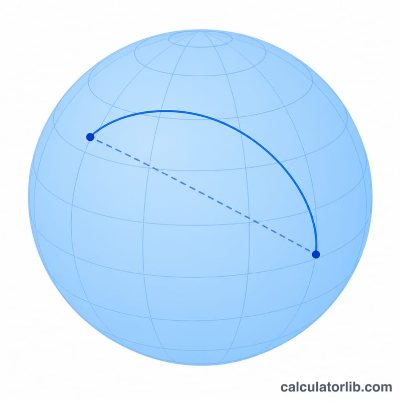
This tool measures the great-circle distance between two points on Earth — the shortest path along the surface of a sphere, as the crow flies. You enter the geographic coordinates of two locations, and it returns the distance in both kilometres and miles. It is ideal for mapping, GIS work, route planning, logistics estimates, and any task where you have decimal latitude and longitude values and need to know how far apart they are.
The Inputs You Provide
- Latitude 1 and Longitude 1 — the coordinates of your first point, in decimal degrees (e.g. 51.5074, -0.1278 for London).
- Latitude 2 and Longitude 2 — the coordinates of your second point, in the same decimal-degree format.
Use negative values for the southern and western hemispheres. All four fields must be numeric; the calculator parses them as doubles before computing.
The Formula Explained
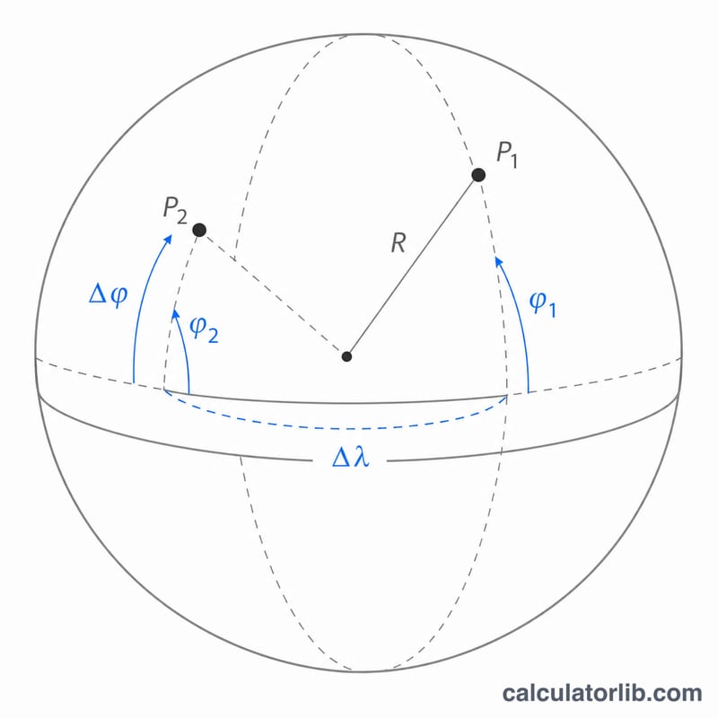
The calculator uses the Haversine formula with a fixed Earth radius of \(R = 6371\) km:
$$d = 2R \cdot \arcsin\!\left( \sqrt{ \sin^{2}\!\frac{\varphi_2-\varphi_1}{2} + \cos\varphi_1 \cdot \cos\varphi_2 \cdot \sin^{2}\!\frac{\lambda_2-\lambda_1}{2} } \right)$$Here \(\varphi\) is latitude and \(\lambda\) is longitude, both converted to radians. The result is multiplied by 0.621371 to also report the distance in miles. Because it models Earth as a perfect sphere, expect accuracy within roughly 0.3% of the true ellipsoidal distance — more than enough for most practical needs.
Worked Example
Suppose Point 1 is London (Latitude 51.5074, Longitude −0.1278) and Point 2 is Paris (Latitude 48.8566, Longitude 2.3522). Plugging these in, the Haversine formula returns approximately 343.5 km, which equals about 213.4 miles. That is the straight-line surface distance, not the driving distance.
Frequently Asked Questions
Does this give driving distance? No. It gives the great-circle (straight-line) distance over the Earth's surface. Actual road travel will be longer because roads rarely follow a perfect arc.
What coordinate format should I use? Decimal degrees only — for example 40.7128, not 40°42′46″N. Convert degrees-minutes-seconds to decimal first.
How accurate is it? The Haversine method on a 6371 km sphere is accurate to within a fraction of a percent for almost all point pairs, which is fine for mapping, GIS and logistics estimates.