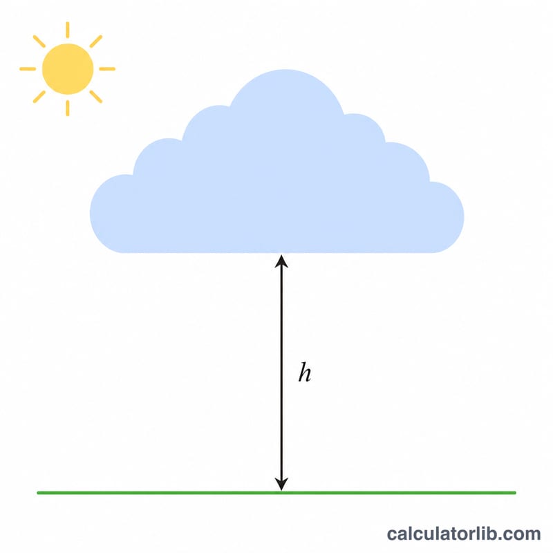
What Is the Cloud Base Calculator?
The Cloud Base Calculator estimates the height at which cumulus clouds form, measured in feet above ground level (AGL). Pilots, glider enthusiasts, and weather watchers use it to anticipate the bottom of fair-weather convective clouds based on a simple surface measurement: the spread between air temperature and dew point.
How to Use It
Enter the current surface air temperature and the dew point, both in degrees Fahrenheit. The calculator subtracts the dew point from the temperature to find the spread, then converts that spread into an altitude estimate. The result is the approximate convective cloud base in feet AGL.
The Formula Explained
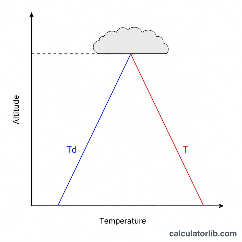
The relationship is based on the dry adiabatic lapse rate. As a parcel of air rises, it cools about 5.4°F per 1,000 ft while the dew point falls about 1°F per 1,000 ft, so the spread closes at roughly 4.4°F per 1,000 ft. The formula is:
$$\text{Cloud Base (ft)} = \frac{\text{T} - \text{T}_d}{4.4} \times 1000$$
where \(\text{T}\) is temperature and \(\text{T}_d\) is dew point. When the spread reaches zero, the air is saturated and clouds form.
Worked Example
Suppose the surface temperature is 70°F and the dew point is 50°F. The spread is \(70 - 50 = 20\)°F. Dividing by 4.4 gives about 4.545, and multiplying by 1,000 yields approximately 4,545 feet AGL for the expected cloud base.
$$\frac{70 - 50}{4.4} \times 1000 \approx 4{,}545 \text{ ft AGL}$$
FAQ
Is this exact? No—it is a well-established rule of thumb for fair-weather cumulus. Actual cloud bases vary with mixing, terrain, and instability.
Why feet AGL and not MSL? The estimate is height above the ground where the measurement was taken. Add field elevation to convert to MSL.
Can I use Celsius? This version expects Fahrenheit because the 4.4 constant is tied to Fahrenheit lapse rates. Convert to °F first for accurate results.