What the Wind Chill Calculator does
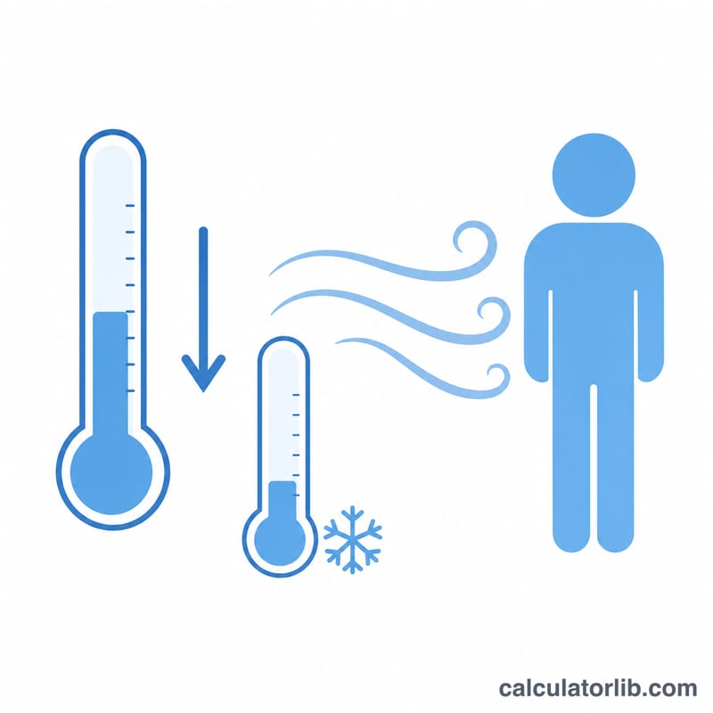
This calculator estimates the "feels-like" temperature when cold air combines with wind, using the official U.S. National Weather Service (NWS) wind chill formula. Because moving air strips heat from exposed skin faster than still air, the real temperature on a thermometer often understates how cold it actually feels. Enter the air temperature and wind speed, and the tool returns the wind chill in °F (and equivalent °C/Kelvin), along with a frostbite risk rating and an approximate heat-loss figure.
The two inputs you provide
- Temperature (°F): The measured air temperature. Wind chill only applies at or below 50°F.
- Wind Speed (mph): The wind speed. The formula is only valid for winds above 3 mph.
If you enter a temperature above 50°F or a wind speed of 3 mph or lower, the calculator returns an error, because the NWS model isn't defined outside those bounds.
The formula
The calculator uses the standard NWS equation:
$$WC = 35.74 + 0.6215\,T - 35.75 \cdot V^{0.16} + 0.4275 \cdot T \cdot V^{0.16}$$
where \(T\) is air temperature in °F and \(V\) is wind speed in mph. The result is rounded to one decimal place. Frostbite risk is then assigned: above 32°F = not rated (above freezing); 0 to 32°F = low; −18 to 0°F = moderate (frostbite within 30 minutes); −45 to −18°F = high (within 10 minutes); below −45°F = extreme (within 5 minutes).
Worked example
Suppose the temperature is 20°F and the wind is blowing at 15 mph. First, \(V^{0.16} = 15^{0.16} \approx 1.5667\). Then:
- \(35.74 + (0.6215 \times 20) = 48.17\)
- \(- (35.75 \times 1.5667) = -56.01\)
- \(+ (0.4275 \times 20 \times 1.5667) = +13.40\)
Adding these gives about 5.6°F. So although the thermometer reads 20°F, your skin feels like roughly 6°F — placing it in the "low risk" frostbite band, with caution advised on prolonged exposure.
Frostbite Risk Bands
The table below groups wind chill values (in °F) into risk bands with approximate time to frostbite on exposed skin. These bands match the ones the calculator uses. The exposure times are National Weather Service (NWS, United States) guidance for exposed skin. Individual risk varies with clothing, activity, humidity and health.
| Wind chill (°F) | Risk level | Approx. time to frostbite (exposed skin) |
|---|---|---|
| Above 32 | Not rated (above freezing) | Not expected from cold alone |
| 0 to 32 | Low | Frostbite unlikely for most people; discomfort is possible |
| -18 to 0 | Moderate | About 30 minutes |
| -45 to -18 | High | About 10 minutes |
| Below -45 | Extreme | About 5 minutes |
The wind chill formula is the US/Canadian NWS model. It is designed for air temperatures at or below 50°F and wind speeds above 3 mph. Outside that range, treat the result as unreliable.
Scenario Comparison: Same Temperature, Different Winds
The tables hold the air temperature fixed and vary only the wind speed. They use \(T_{wc} = 35.74 + 0.6215\,T - 35.75\,V^{0.16} + 0.4275\,T\,V^{0.16}\), with T in °F and V in mph. Values are rounded to 0.1°F.
Air temperature 20°F
| Wind (mph) | Wind chill (°F) | Drop from air temp (°F) | Risk band |
|---|---|---|---|
| 5 | 13.0 | 7.0 | Low |
| 10 | 8.9 | 11.1 | Low |
| 20 | 4.2 | 15.8 | Low |
| 30 | 1.3 | 18.7 | Low |
| 40 | -0.9 | 20.9 | Moderate (about 30 min) |
Air temperature 0°F
| Wind (mph) | Wind chill (°F) | Drop from air temp (°F) | Risk band |
|---|---|---|---|
| 5 | -10.5 | 10.5 | Moderate (about 30 min) |
| 10 | -15.9 | 15.9 | Moderate (about 30 min) |
| 20 | -22.0 | 22.0 | High (about 10 min) |
| 30 | -25.9 | 25.9 | High (about 10 min) |
| 40 | -28.8 | 28.8 | High (about 10 min) |
Worked check (0°F, 20 mph): \(20^{0.16} \approx 1.6150\), so \(T_{wc} = 35.74 + 0.6215(0) - 35.75(1.6150) + 0.4275(0)(1.6150) \approx 35.74 - 57.74 = -22.0\)°F.
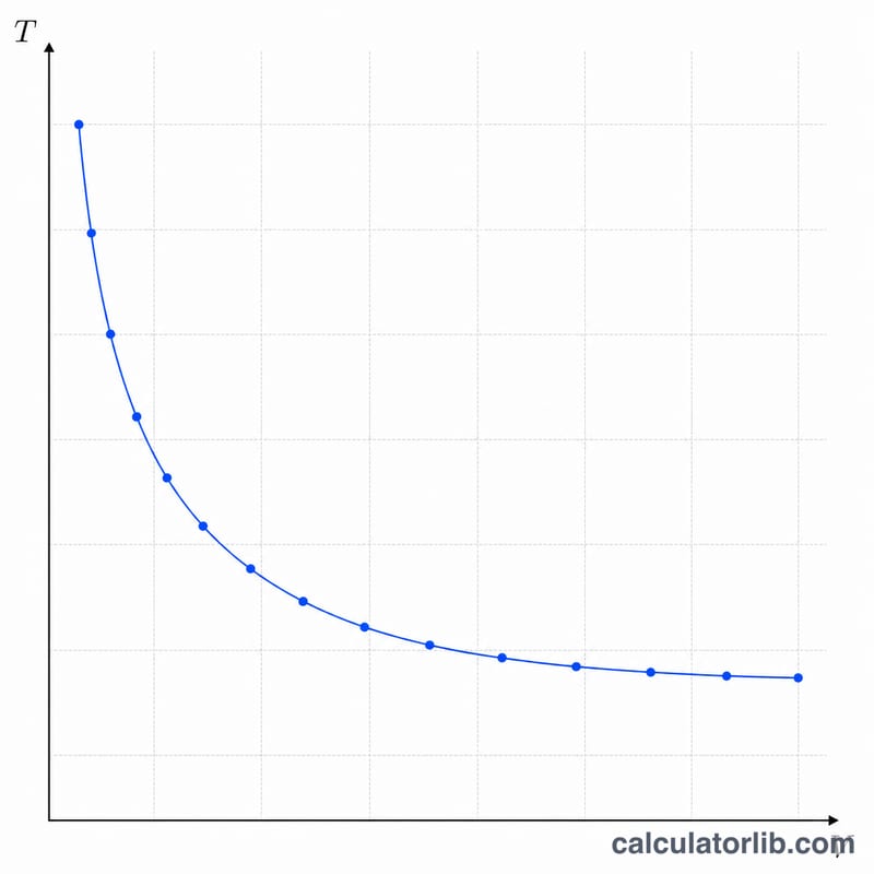
The first few mph of wind have the largest effect. Going from 5 to 10 mph at 20°F adds about 4°F of extra cooling, while going from 30 to 40 mph adds only about 2°F. The wind effect grows more slowly at higher speeds.
FAQ
Why doesn't it work above 50°F? The NWS wind chill model was built for cold conditions only; above 50°F wind has little chilling effect, so the formula isn't applied.
Does higher wind always mean a colder feel? Yes, but with diminishing returns. The \(V^{0.16}\) term means the first few mph of wind matter most, while extra wind at high speeds adds progressively less chill.
What is the heat-loss number? It's an approximate equivalent heat loss in watts per square meter, scaled between 33°F (skin temperature) and 0°F to illustrate how quickly your body sheds warmth.
See also: Wind Chill and Frostbite Time Calculator — adds frostbite risk levels and the time until exposed skin can freeze.