What is an Elevation Grade Calculator?
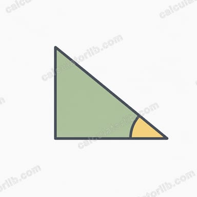
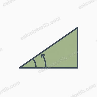
An elevation grade calculator converts a vertical rise and horizontal run into the slope's steepness expressed several ways: as a grade percentage, as an angle in degrees, as the true slope (hypotenuse) length, and as a run-to-rise ratio. Grade is widely used for roads, railways, driveways, ramps, hiking trails, and drainage design. This tool is unit-agnostic—use feet, meters, or any unit, as long as rise and run share the same unit.
How to Use It
Enter the rise (the change in elevation) and the run (the horizontal distance covered). Press calculate to instantly see the grade as a percent, the incline angle, the diagonal slope length, and the ratio. For example, a road that climbs 10 feet over 100 feet of horizontal distance has a 10% grade.
The Formula Explained
The grade percentage is simply \(\frac{\text{rise}}{\text{run}} \times 100\). The angle is found with the inverse tangent:
$$\text{angle} = \tan^{-1}\!\left(\frac{\text{rise}}{\text{run}}\right) \times \frac{180}{\pi}$$converting radians to degrees. The slope length—the actual distance you travel along the incline—uses the Pythagorean theorem: \(\sqrt{\text{rise}^2 + \text{run}^2}\).

Worked Example
Suppose a trail rises 30 meters over a horizontal run of 40 meters.
$$\text{Grade} = \frac{30}{40} \times 100 = \mathbf{75\%}$$$$\text{Angle} = \tan^{-1}\!\left(\frac{30}{40}\right) = \tan^{-1}(0.75) \approx \mathbf{36.87°}$$$$\text{Slope length} = \sqrt{30^2 + 40^2} = \sqrt{900 + 1600} = \sqrt{2500} = \mathbf{50 \text{ m}}$$$$\text{Ratio} = \frac{40}{30} \approx \mathbf{1.33 : 1}$$
Grade, Angle and Ratio Conversion Table
Grade (%) is rise divided by run × 100, and the angle is the arctangent of that same rise/run value. The ratio below is shown as run:rise, so 1:20 means 20 units of horizontal run for every 1 unit of rise. Values are rounded.
| Grade (%) | Angle (°) | Ratio (run:rise) |
|---|---|---|
| 1% | 0.57° | 1:100 |
| 2% | 1.15° | 1:50 |
| 5% | 2.86° | 1:20 |
| 8.33% | 4.76° | 1:12 |
| 10% | 5.71° | 1:10 |
| 12% | 6.84° | about 1:8.3 |
| 15% | 8.53° | about 1:6.7 |
| 20% | 11.31° | 1:5 |
| 25% | 14.04° | 1:4 |
| 33.3% | 18.43° | 1:3 |
| 50% | 26.57° | 1:2 |
| 100% | 45° | 1:1 |
| 173% | 60° | about 1:0.58 |
Note that a 100% grade is a 45° slope, not a vertical one. Grade keeps increasing without limit as the angle approaches 90°.
Typical and Maximum Grades by Application
The figures below are widely published design values, mostly from United States standards. Other countries use different limits, and local codes vary, so always check the rules that apply to your project and location.
| Application | Typical / maximum grade | Source or context |
|---|---|---|
| Accessible ramp | Max 1:12 (8.33%) | US ADA Accessibility Standards |
| Accessible walkway (no ramp required) | Up to 1:20 (5%) | US ADA; steeper than 5% is treated as a ramp |
| Cross-slope of walkways | Max about 2% | US ADA (1:48) |
| Highways | About 5–7% typical maximum; up to about 12% in mountainous terrain | US design practice (AASHTO context); depends on road class and design speed |
| Railways | Commonly 1–2% | General railway practice; heavy-haul lines are often kept lower |
| Residential driveways | Often 12–15% or less | Common guidance; local limits differ |
| Hiking trails | Sustained about 10–15% | General trail-design practice; short sections can be steeper |
| Drainage / landscape grading | Minimum about 1–2% away from buildings | General practice; some building codes require more near foundations |
Treat these as general reference points rather than compliance advice. Always confirm with your local building, roadway or accessibility authority.
Interpreting Your Grade Result
| Grade | Description |
|---|---|
| 0–2% | Nearly flat |
| 2–5% | Gentle |
| 5–8% | Moderate |
| 8–12% | Steep |
| 12–20% | Very steep |
| Over 20% | Extreme |
These bands are descriptive guides, not formal standards. As grade increases, vehicles have less traction (especially on wet, icy or loose surfaces), surface water runs off faster and can cause erosion, and walking or cycling takes noticeably more effort.
Example: a path rises 3 m over a horizontal run of 40 m. The grade is \(\frac{3}{40} \times 100\% = \) 7.5%, which is moderate. The angle is \(\tan^{-1}(0.075) \approx 4.29^\circ\), and the slope length is \(\sqrt{3^2 + 40^2} \approx 40.11\) m.
Keep in mind that percentage grade is not the same as degrees: 10% is only about 5.7°. Also, use the horizontal run, not the length measured along the slope surface. Using slope length as the run understates the true grade, especially on steep terrain. Rise and run must also be in the same units.
FAQ
What's the difference between grade and angle? Grade is a percentage (rise ÷ run × 100), while angle is measured in degrees. A 100% grade equals 45°, not 90°.
Can grade exceed 100%? Yes. A grade over 100% simply means the rise is greater than the run, i.e. the angle is steeper than 45°.
What units should I use? Any units work as long as rise and run use the same one, because grade is a ratio.