
What Is Vertical Exaggeration?
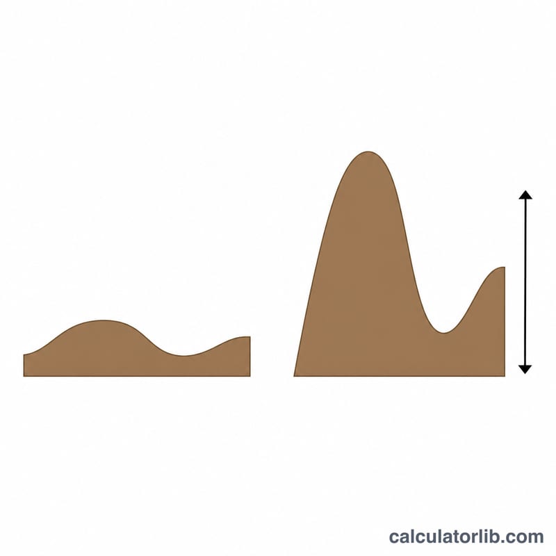
Vertical exaggeration (VE) describes how much the vertical dimension of a topographic profile or geologic cross-section is stretched compared with the horizontal dimension. When the vertical scale is larger (more detailed) than the horizontal scale, hills and valleys appear taller and steeper than they really are. VE is essential in cartography, geology, surveying, and earth science because it tells you how to interpret the shape of a profile honestly.
How to Use This Calculator
Enter the denominator of your horizontal scale and your vertical scale. For example, a map drawn at 1:24,000 horizontally and a profile plotted at 1:2,400 vertically gives a horizontal scale of 24000 and a vertical scale of 2400. The calculator divides the two to return the exaggeration factor. Both values must be expressed as the "1 : X" denominator in the same units.
The Formula Explained
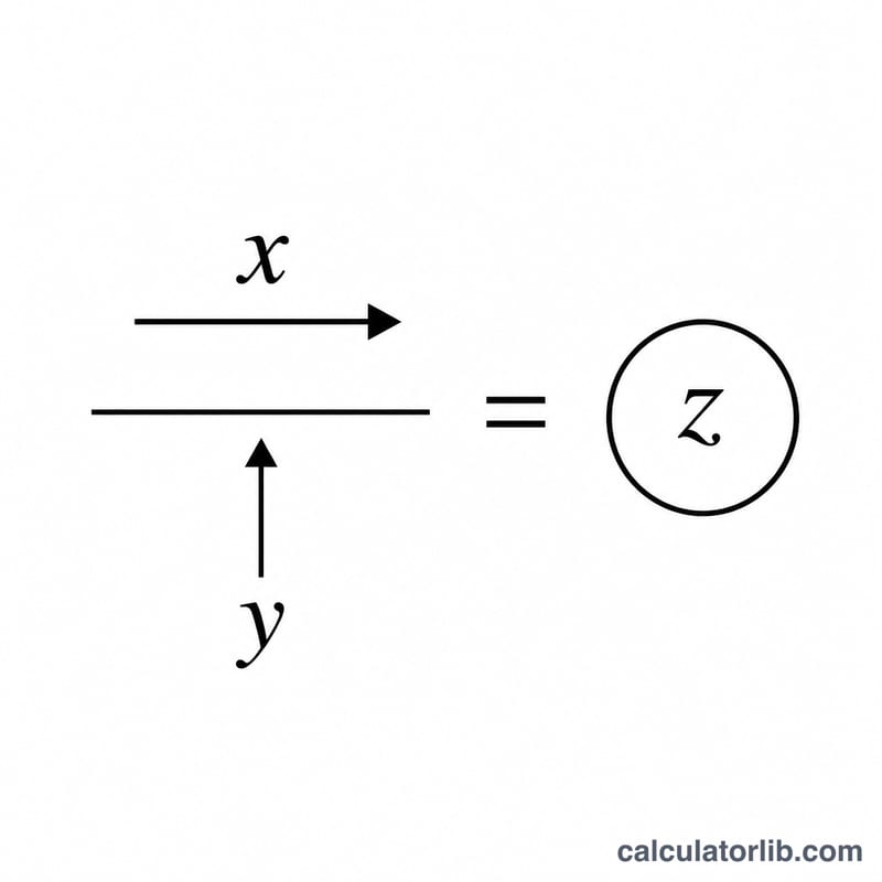
The formula is simply $$\text{VE} = \frac{\text{Horizontal Scale}}{\text{Vertical Scale}}$$ Because both scales share the same units, the result is a unitless multiplier. A VE of 1 means there is no exaggeration (a true-shape profile). A VE greater than 1 means the relief is amplified; a VE less than 1 (rare) means it is compressed.
Worked Example
Suppose a profile has a horizontal scale of 1:50,000 and a vertical scale of 1:5,000. $$\text{VE} = 50000 \div 5000 = 10$$ The terrain in this profile appears ten times taller than it is in reality, so a 100 m hill is drawn as if it were 1,000 m relative to the horizontal distances.
FAQ
Is a high vertical exaggeration bad? Not necessarily. Exaggeration helps reveal subtle relief, but it makes slopes look steeper, so always state the VE on your figure.
What does VE = 1 mean? The vertical and horizontal scales are equal, so the profile shows true, undistorted shapes.
Can VE be less than 1? Yes, if the horizontal scale is more detailed than the vertical scale, but this is uncommon in practice.